

Availability: Professional, Expert and Enterprise
In Public Land Survey System country the grid is the reference frame the deed is written against. Trace draws three of them over the basemap: townships, sections, and quarter sections. Turn them on to see where a tract sits before you place it.
Before you start
- The PLSS layers need Professional or above.
- The quarter section grid draws only at a close zoom.
Switch a grid from the toolbar
- On the map toolbar, click a PLSS button. The three sit at the right hand end, in order: township grid, section grid, quarter sections.
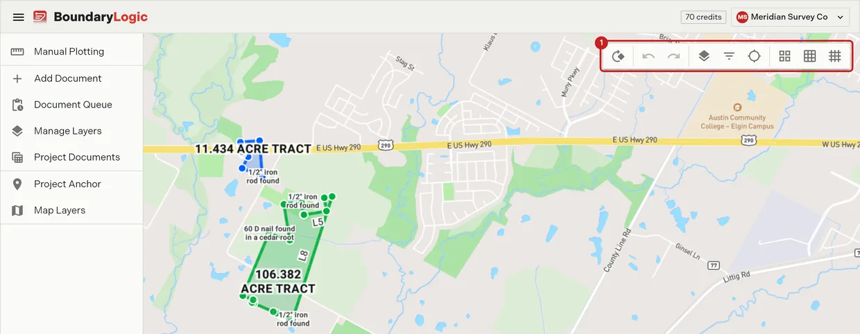
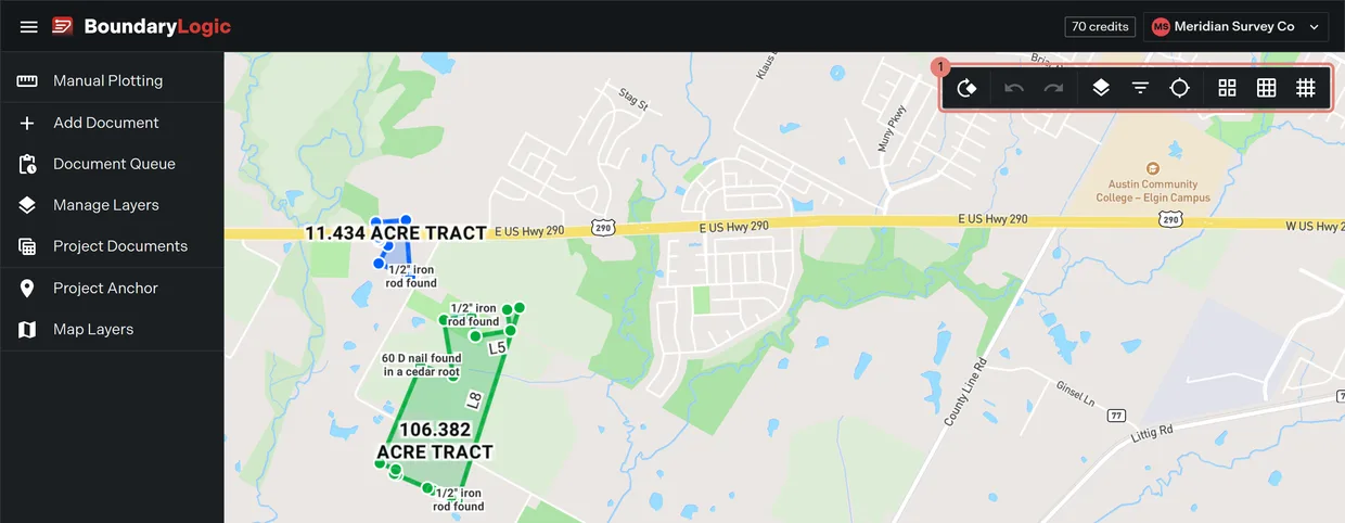
- Click again to switch it off. An active grid’s button is blue.
The quarter sections button carries the tooltip “Toggle PLSS Quarter Sections (Zoom in for detail)”. Switching it on at a wide zoom draws nothing until you zoom in.
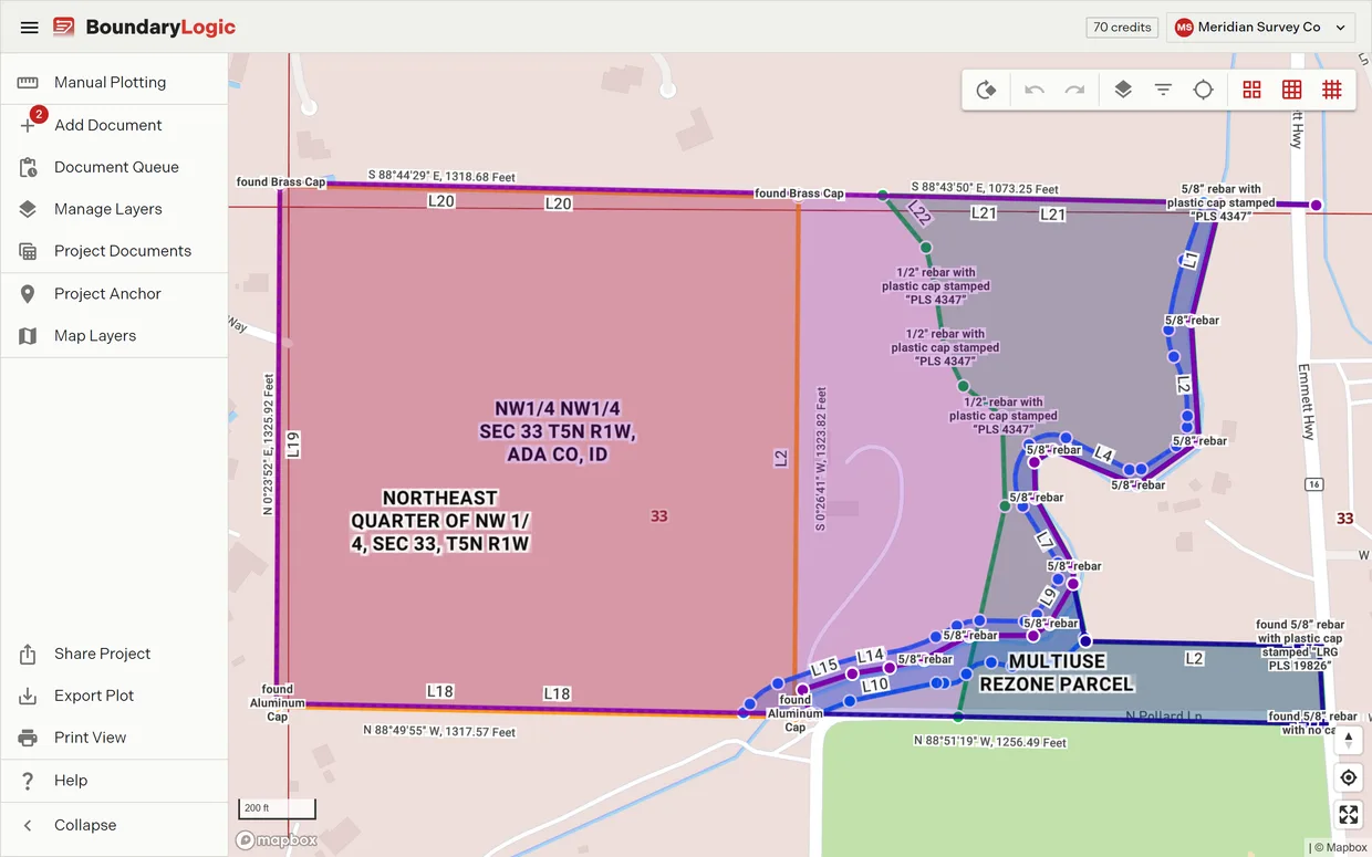
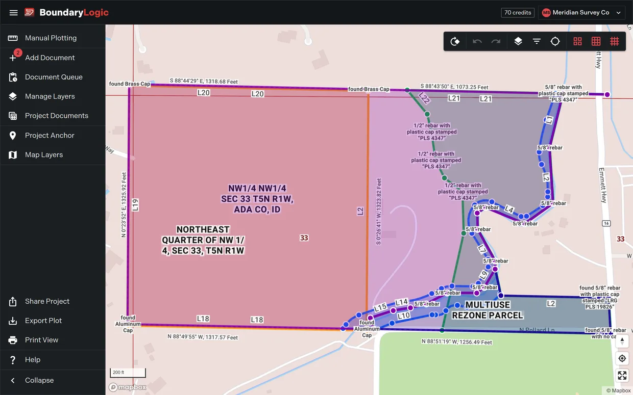
Switch all three at once
- Right-click empty map. The Map Actions menu opens.
- Choose Enable PLSS Grid. All three grids come on together.
While any of the three is showing, the item reads Disable PLSS Grid and switches all three off.
Switch a grid from the Map Layers pane
- In the project menu, click Map Layers.
- Under Data Layers, tick a grid.
These are the same three switches as the toolbar, not a separate set. The quarter sections row carries the note “Zoom in for detail”.
Where the grid comes from
The grids are reference data drawn under your plots. They show you the township, range and section framework in the area you are looking at; they do not change any plot’s geometry and they do not export with the drawing. To place a plot on a PLSS corner rather than just look at the grid, use PLSS placement.
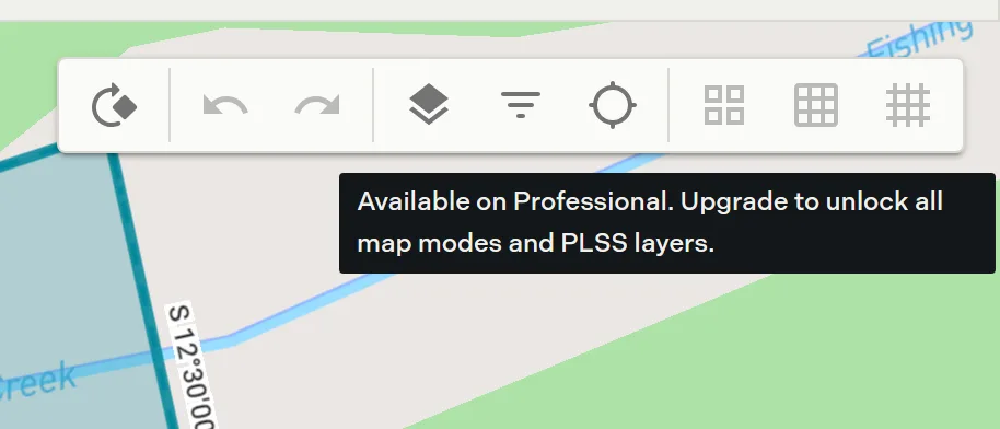
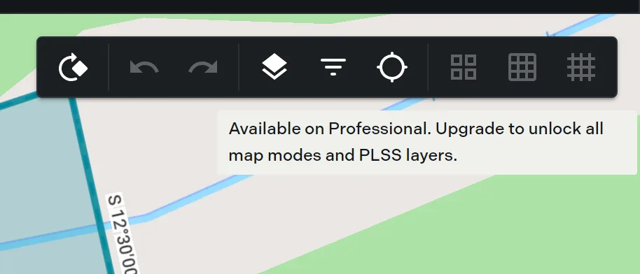
On Free the three toolbar buttons stay visible but frozen, and hovering one reads “Available on Professional. Upgrade to unlock all map modes and PLSS layers.” The Enable PLSS Grid item in the map right-click menu is frozen with them, and the three checkboxes in the Map Layers pane are disabled.
Related
- PLSS placement, for putting a plot on a section corner
- PLSS calls, for aliquot descriptions in the plotter
- Map modes and styles, for the basemap under the grid
- Township and range and section in the glossary