

Availability: All plans
Trace annotates every plot with bearings, call markers, monument text and the plot’s name. All four are on when you arrive. Turn them off when the drawing gets crowded, and back on for the frame you want to hand over.
Switch labels on the map
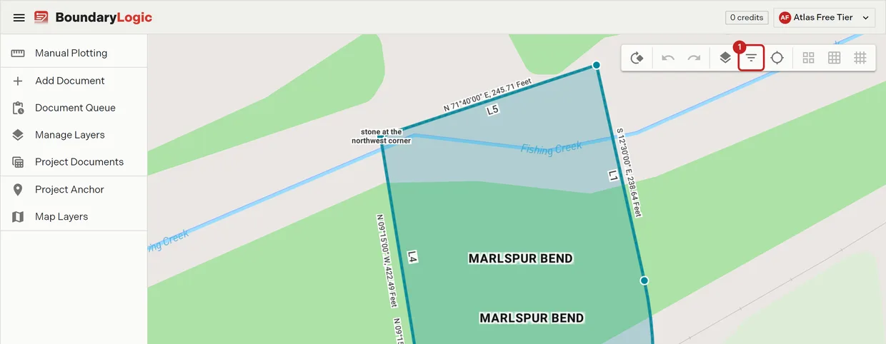
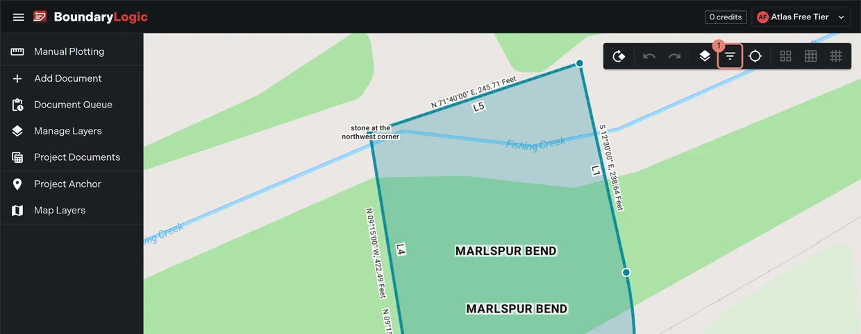
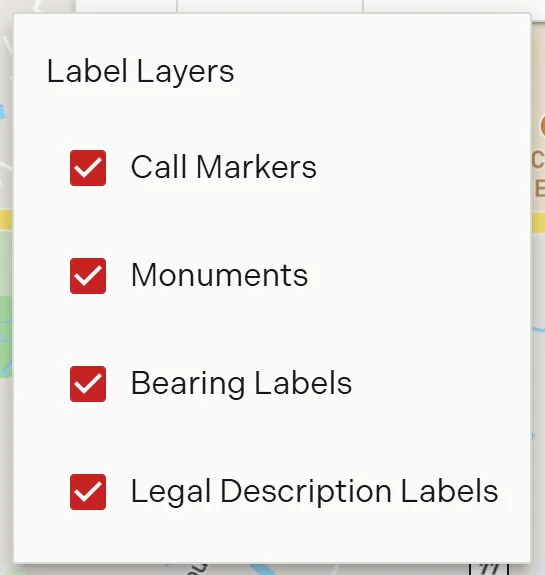
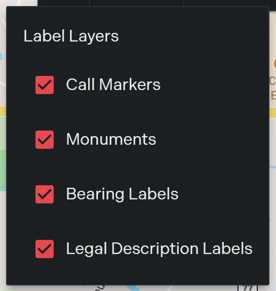
- On the map toolbar, click Filter Layers. The label menu opens and the button turns blue.
- Click a label layer to switch it. The map redraws immediately.
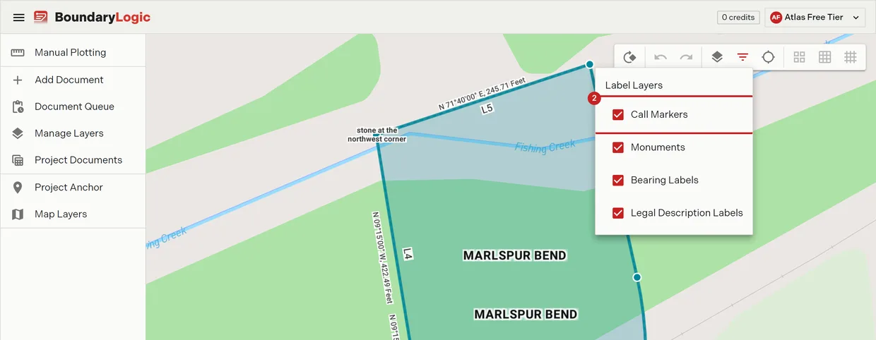
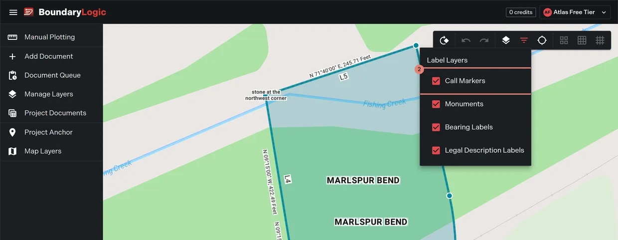
Four layers sit in the menu: Call Markers, Monuments, Bearing Labels and Legal Description Labels. All four are on by default.
Switch labels on the sheet
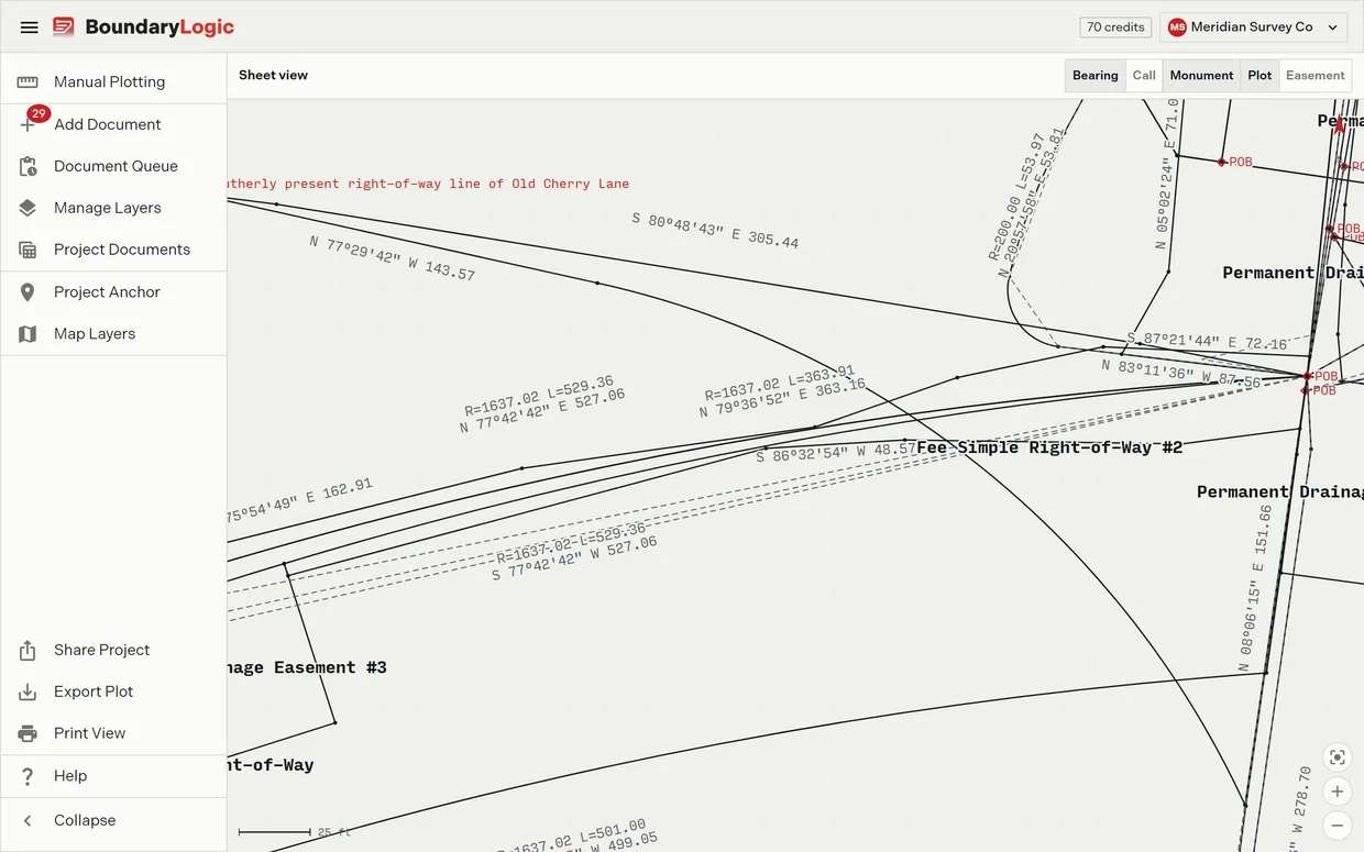
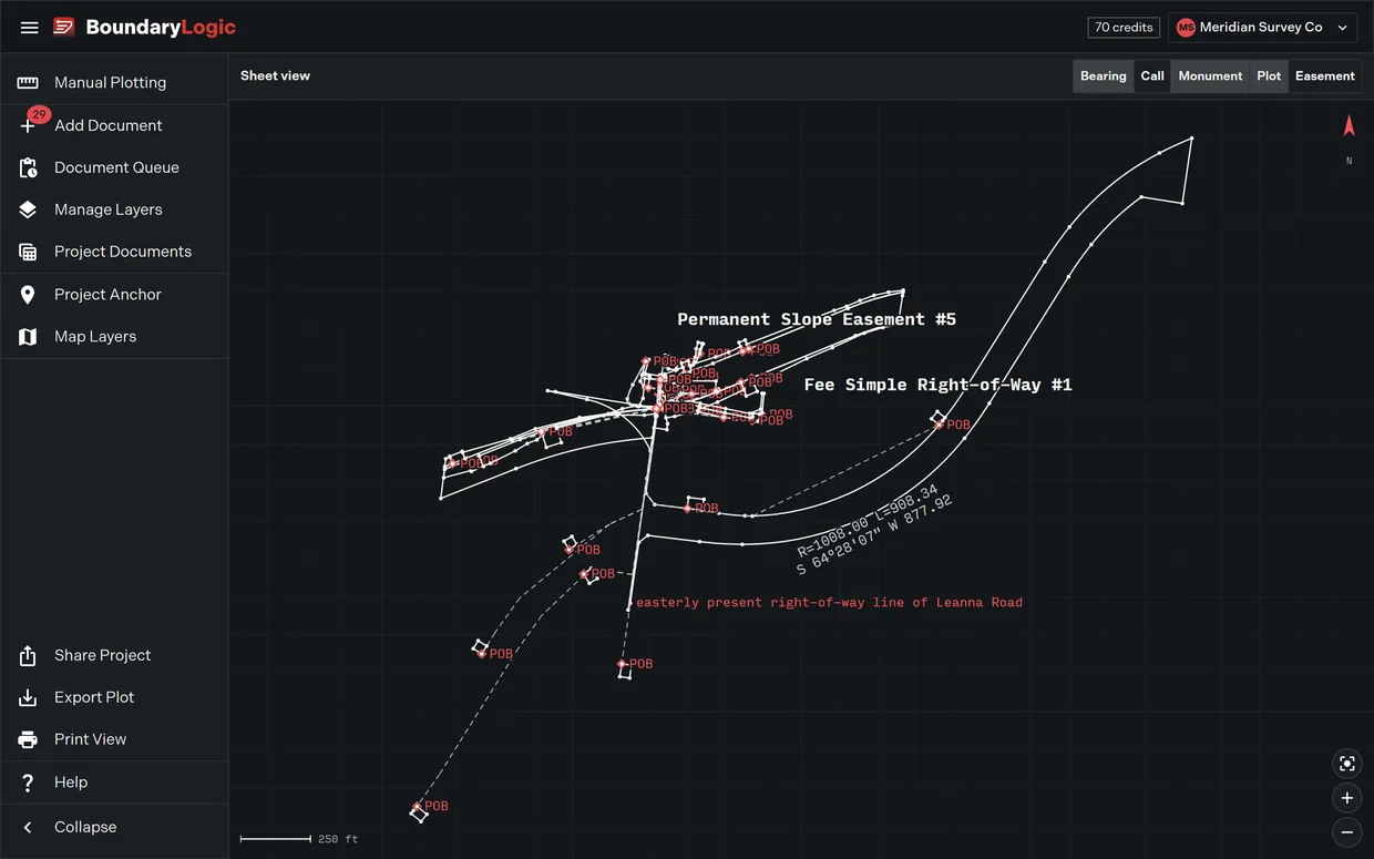
In Sheet View the same switches sit in the sheet header, plus a fifth. Easement widths annotates corridor half widths onto the drawing, and it is the one label that is off by default.
- In the project menu, click Map Layers, then pick Sheet View.
- In the sheet header, click a label button.
What each label draws
| Label layer | What appears | Default |
|---|---|---|
| Bearing Labels | Each course’s bearing and distance outside the boundary. A curve stacks its radius and arc length above its chord. | On |
| Call Markers | Point markers inside the boundary, numbered L1 upward for lines and C1 upward for curves. | On |
| Monuments | Each recorded monument description beside its point, including both ends of a ranged monument and the monuments on any ties. | On |
| Legal Description Labels | The tract name at the centroid of its outline. | On |
| Easement widths | Corridor half widths as left over right dimension text at the corridor ends and at every width change, in the form 15/15 ft. Sheet header only. |
Off |
One setting, every surface
These switches are shared, not set separately in each place. Turning Bearing Labels off on the sheet turns it off on the map and in the manual plotting workspace’s label strip too. Trace remembers each switch between visits.
Labels give way to each other rather than overprinting. A label whose course is too short to hold it is dropped, and where two labels collide the higher priority one wins. If a bearing you expect is missing, zoom in.
Related
- Sheet View, for the sheet the labels draw on
- The map workspace, for the rest of the toolbar
- The manual plotting workspace, for the label strip there
- Easement centerlines, for what the width annotations describe