

Availability: All plans. Role: edit access on the project.
What you are seeing
The tract drew. Its shape looks right, its area and closure look right, and there is no error against any course. But it is nowhere near the land it describes: out in open country, off the parcel you expected, or sitting at the middle of the project with nothing around it.
Why it happens
Plotting and placing are two different jobs, and most descriptions only carry one of them.
The courses tell Trace the shape. Something else has to tell Trace where on the ground that shape belongs, and a great many descriptions never say. They reach the world through a monument, a neighbour’s land, a street name or a recorded document, and Trace cannot turn any of those into a position. So the geometry is built correctly and left unplaced until you place it.
This is not a bad plot. The shape is what the description says. Only its position is unset.
Which descriptions do this
- A description that begins at a monument. “Beginning at an iron pin found at the southwest corner of the Quillane tract”, then every course after it giving a direction and a distance. The monument is only a label on the point; it never moves the geometry.
- A PLSS aliquot description. The northeast quarter of a section, with no metes and bounds anywhere. Trace builds it on the nominal 5,280 foot standard section and leaves the ground position to the project.
- Anything tied only to an adjoiner, a street or a book and page. Same reason.
The example wording here was written by BoundaryLogic for these articles and names no real place, person or record.
A description that gives a coordinate, a street address or a PLSS corner does not have this problem. It places itself.
Fix it
Place the tract yourself. There are four ways, and none of them reads the description.
- By street address. Open Move Your Plot Location on the tract and enter an address. Trace moves the whole tract to it, keeping the shape.
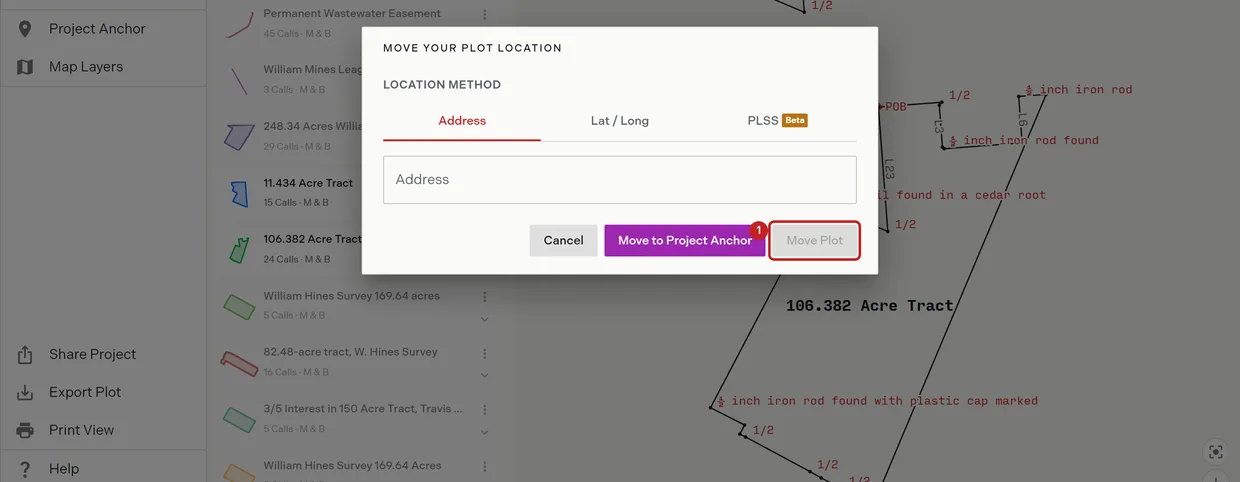
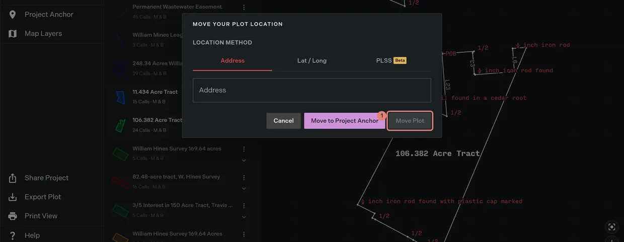
- By latitude and longitude. Type the coordinates on the same dialog, where you have them from another source.
- By a PLSS corner. Pick the township, range, section and corner. This is the natural route for an aliquot description.
- Onto the project anchor. Drop the tract straight onto the position the project already holds, which is the fastest option when several descriptions share a location.
Locate a description walks these through, and Move a plot covers moving one by hand on the map.
To place every description in the project at once instead of one at a time, set the project’s own anchor from the same three sources. See default project settings.
The PLSS route needs Professional or above. On Free the PLSS tab and the placement panel open the plan chooser instead of switching on. The other three routes work on every plan.
Where you place by a quarter or quarter quarter corner rather than a section corner, Trace says so on the panel: those positions are less exact than a section corner. PLSS placement covers it.
If that did not work
- The shape itself looks wrong, not just its position. That is a different problem. Check for a course Trace could not read, because a missing course changes the shape and can still report a clean closure. See When a call will not plot.
- The tract is enormous, roughly a full section, and you expected a lot. A lot and block line typed into the manual plotting editor is read as a section reference. See Lot and block descriptions.
- It plotted in the right place but the wrong orientation. Check the first course’s quadrant letters, and any curve without a stated hand.
Related
- Locate a description, for the four ways to place a tract
- PLSS placement, for placing by section corner
- What Trace can and cannot plot, for the four outcomes
- Read your description before you upload it, for spotting this before you plot
- Locating a PLSS aliquot description, for the aliquot case walked through